SOIL SURVEY
SOIL SURVEY

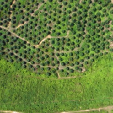
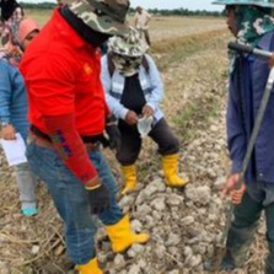
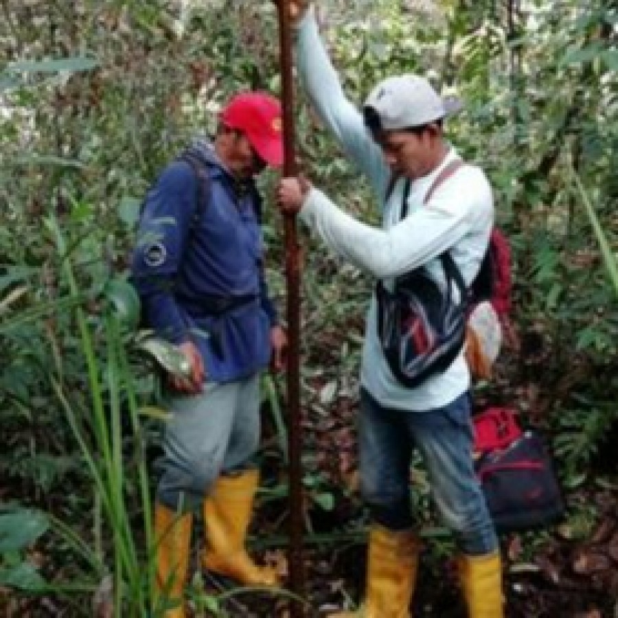
Geoprecision tech provide services in soil survey and 3D GIS soil mapping.. Land characteristics are measurable properties of the physical environment related to land use. The land characteristics are made available after a soil survey and therefore to used for evaluation are climate, topography, wetness flooding, drainage, limitation related to physical soil condition, texture, soil depth, Calcium carbonate status, gypsum content, limitation related to natural fertility, cation exchange capacity of the clay fraction, base saturation, organic matter content of top soil, salinity and alkalinity limitation, salinity status, and alkalinity status. The major land quality to be considered for many type of arable farming or crop cultivation are Internal qualities, water availability, oxygen availability, availability of foothold for roots, nutrient availability, and absence of salinity and alkalinity. Soil Properties suitable for oil Palm Oil palm is suitable with best performance in soil properties of gentle slopes, clay texture, friable consistencies, and moderately deep soils, with pH ranges 4.0 -6.0. In addition, uniform distribution of rainfall is a pre-requisite factor for good oil palm growth. Consequently, a highly suitable soil found in areas of dry weather climate will still be considered unsuitable as oil palm yields are affected significantly by drought condition. Further more, slope factor plays an important part in optimum productivity of oil palm and steep slopes of more than 12 degrees would cause a soil considered as Class I for oil palm to be relegated to Class II or even Class III depending on the steepness of the terrain. SOIL SERIES HIGHLY SUITABLE FOR OIL PALM Munchong, Jeram, Bungor, Jerangau, Rengam, Segamat, Kuantan. They are belong to Great Group Haplerthox, Tropudult, Paleudult Haplorthox, Paleudult, Haplorthox, and Accrorthox, respectively. SOIL SERIES SUITABLE FOR OIL PALM Soil series that are suitable for oil palm are Harimau, Senai, Batang Kerbau, Kulai, Serdang, and Ulu Tiram. They belong to the Great Group Paleudult, Acrorthox, Tropudult, Tropudult, Paleaudult, and Dystropept, respectively. SOIL SERIES MODERATELY SUITABLE Soil series that are moderately suitable are Pohoi, Holyrood, Lunas, Durian, Batu Anam, Pasir Puteh and Setiawan. The are belong to the Great Group Plinthudult, Dystropept, Dystropept, Plinthudult, Dystroppept, Troppaquult, and Tropudult, respectively. Geoprecision Tech provide 3 types of soil survey: 1- Schematic Reconnaissance Survey: - Comprises of mapping units of Soil Family, Soil Association, Soil Complexes .The scale we produce is 1:250,000. 2. Semi Detailed Soil Survey - Comprises of soil series, soil families, Soil association and complexes. It is for major agriculture development areas. Intensity: 1 point examination for 20 ha; Map scale: 1:25,000 3. Detailed Soil Map - Comprises of soil series and complexes. 1 point examination for 4 ha; Map scale: 1:10,000.